stephankn's Comments
| Changeset | When | Comment |
|---|---|---|
| 87374264 | what areas are you adding? What is the source of these polygons? |
|
| 87374745 | what kind of area are you trying to add here? How can we, the community verify the edit? |
|
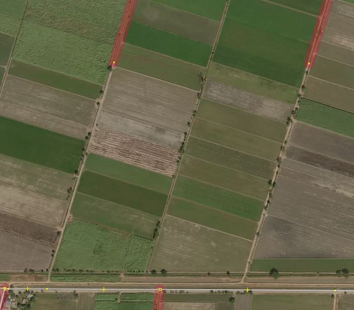
| 36320851 | Thank you. Please feel free to improve the map data as needed. I used http://compare.osm-tools.org/ to find areas with gaps in the data. Then I used aerial imagery to derive roads from these images. It can well be that also the alignment is not perfect. Maxar Premium is usually quite good. If there are GPS traces in your area, try to compare them with the aerials to be sure. |
|
| 76089404 | please do not leave private notes. This is a public map database. |
|
| 65730274 | are you aware that by using this tagging style you are adding nothing meaningful to the database? Did you try to map buildings? |
|
| 52198491 | Where did you get all these road-names from? Especially those on the Thai side do not sound familiar to me. |
|
| 52049156 | The others are a bit more borderline, as they could serve the purpose of providing access to the fields, or a service road to reach the farm building. Certainly for roads which could be used as a "via" shortcut by routing software, a bit more caution is needed before even mapping such roads without proper ground truth. |
|
| 52049156 | Beddhist, I checked way/52049156. From aerial it is not visible whether this is a track or a residential. Even it could be a service driveway to the building on the east. Just to be explicit as it sounds a bit like you suggested to automatically convert everything unpaved into an agricultural road: This is not the definition of a track. "roads for mostly agricultural use, forest tracks etc". What it clearly misses is the "surface=unpaved" tag. With me having seen similar roads having official Soi x signs, they could well be residentials. |
|
| 60357602 | what interconnection is way/604380751 serving to justify unclassified? Besides it ending half-way on a clearly visible road, it looks much like an agricultural road, so highway=track |
|
| 61409489 | way/614519089, way/587273653, way/587297594 have no function as interconnecting the grid. From the aerial is seems the only function of these ways is to serve access to the fields. So probably more agricultural, thus highway=track. From aerial it looks a bit like surface=paved. |
|
| 43688635 | how do you think วัดไทรงาม is a castle?`
|
|
| 60588245 | way/606823695 goes through buildings on some layers. Needs timestamps of layers.
|
|
| 61553853 | why is way/615994782 not continued to the east? Probably also connected to the road along the temple? |
|
| 61553853 | why is way/615994900 not connected to way/615994806? |
|
| 62075953 | way/620651765 clearly continues to the north |
|
| 62075953 | way/620651838 is just floating around unconnected to anything else |
|
| 63103608 | and again this changeset. way/629603226 as well |
|
| 63103608 | not another one... way/629603275 ends just in the middle... see https://i.postimg.cc/LscpYWs2/osm-way-629603275.jpg |
|
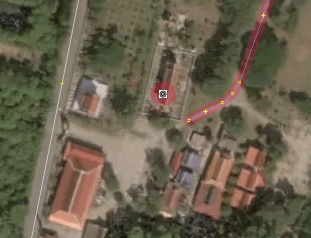
| 63103608 | seems this changeset is quite buggy. Further west, why is way/629603200 not connected to the road via the gate clearly visible on the western side of the temple?
|
|
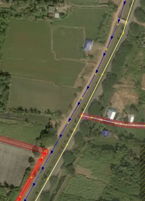
| 62080760 | Why is the way (track) north of way/620684047 not continued? this makes a small section of the way next to the canal missing. Other ways along the canal had been added.
|