rohieb's Notes
Notes submitted or commented on by rohieb
| Id | Creator | Description | Created at | Last changed | |
|---|---|---|---|---|---|
| 4718611 | Diese Ortsteilsprechstelle existiert nicht mehr. |
||||
| 5098705 | JochenOSM384 | Unable to answer "What’s the surface here?" – Tennis Court – way/43224759 via StreetComplete 62.1: Es gibt diesen Platz nicht mehr |
|||
| 5098704 | JochenOSM384 | Unable to answer "What’s the surface here?" – Tennis Court – way/43224754 via StreetComplete 62.1: Hier kein bespielbarer Platz mehr, alles ist überwuchert Attached photo(s):
|
|||
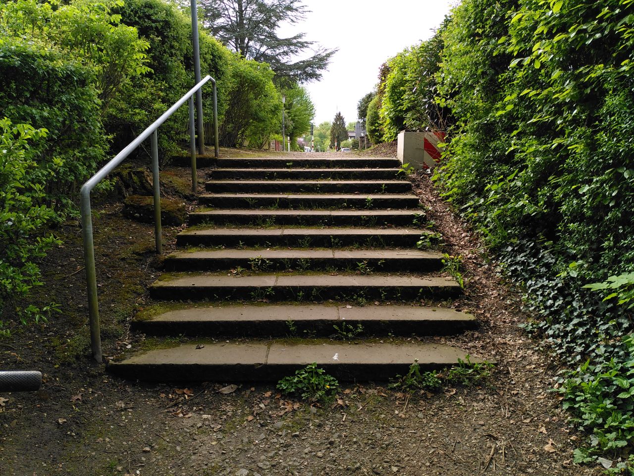
| 4112909 | MartinMap | Nur noch die Wallanlagen sichtbar. Rothehof ist der Name via StreetComplete 56.1 Attached photo(s):
|
|||
| 4219609 | LX M | Unable to answer "What’s the surface here?" for way/47035303 via StreetComplete 48.0: Es handelt sich anscheinend um massive Steinblöcke. Attached photo(s):
|
|||
| 3695036 | Harald112 | Hier ist eine Riesige Baustelle zum Neubau der Berufsfeuerwehrwache |
|||
| 4657086 | Maiday04 | Auch EP 20 genannt |
|||
| 4343355 | Luccus | Unable to answer "What surface does this road have?" – Track / Land-Access Road – way/83116951 via StreetComplete 58.2: Erde mit Fahrspuren Attached photo(s):
|
|||
| 4344043 | Luccus | Unable to answer "What surface does this road have?" – Track / Land-Access Road – way/80106262 via StreetComplete 58.2: Gras and dirt Attached photo(s):
|
|||
| 5119483 | An der K114 unter der Brücke der A39 gibt es keinen Fuß- oder Radweg. Trotzdem werde ich hier zu Fuß entlag geschickt was sehr gefährlich ist! |