jbcharron's Notes
Notes submitted or commented on by jbcharron
| Id | Creator | Description | Created at | Last changed | |
|---|---|---|---|---|---|
| 3841308 | jbcharron | Borne électrique à cartographier sur le parking relais de Metzange |
|||
| 3973800 | valdoussin | It's the begining of the new trail going north that was initially more on the west. The sign indicate "Affiche indiquant que l'itinéraire pour Schneeberg, le refuge du schneeberg et wangenbourg est modifié. Suivre le gr53 🟥 et la pastille ronde bleue 🔵" |
|||
| 3973803 | valdoussin | It's the end of the new trail going north that was initially more on the west. The sign indicate "Affiche indiquant que l'itinéraire pour Schneeberg, le refuge du schneeberg et wangenbourg est modifié. Suivre le gr53 🟥 et la pastille ronde bleue 🔵" |
|||
| 4022475 | Nouvelle maison : 5A rue vignoble |
||||
| 3973793 | valdoussin | This trail doesn't seems to exist.
|
|||
| 3963517 | Jyhem | Poste de transformation haute tension via StreetComplete 54.1 Attached photo(s):
|
|||
| 3961909 | Jyhem | C'est une salle des fêtes via StreetComplete 54.1 Attached photo(s):
|
|||
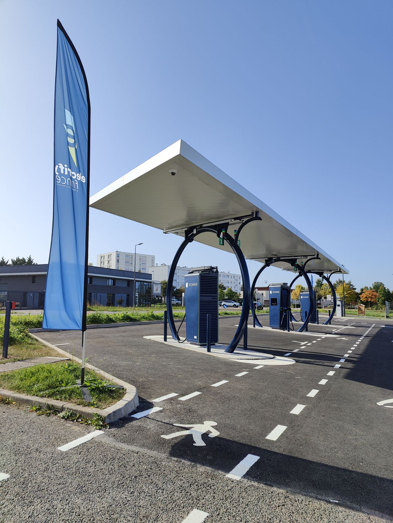
| 3929833 | mathdatech | 3 bornes électriques via StreetComplete 54.0 Attached photo(s):
|
|||
| 3921852 | gendy54 | Future zone résidentielle |
|||
| 3881570 | Wolf2323 | Gabriel | From here to south the way starts to be totally overgrown via StreetComplete 54.0 |