Why you shouldn't use OSM's "Standard" layer in your map
Posted by SomeoneElse on 17 May 2024 in English.
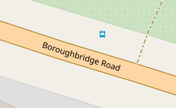
Let’s imagine that you’re a pizza delivery company, and you’ve got an app that shows where you are, where your customers are and where a delivery person is between the two. Obviously you need some sort of map that shows the three in context. You can’t use Google Maps for cost or other reasons, and whatever framework your using will accept raster tiles in the almost universal format https://server/Z/X/Y.png, so why not use OpenStreetMap’s standard layer? After all, it’s free!
Well: