Geofreund1's Notes
Notes submitted or commented on by Geofreund1
| Id | Creator | Description | Created at | Last changed | |
|---|---|---|---|---|---|
| 3222029 | Mr_TM | Unable to answer "What kind of building is this?" for way/335582406 via StreetComplete 43.2: Zahnarztpraxis |
|||
| 4272313 | MajorTom III | Treppe, Beton, Geländer, 8 Stufen. via StreetComplete 57.3 Attached photo(s):
|
|||
| 4272307 | MajorTom III | Treppe, Geländer, Beton, 8 Stufen via StreetComplete 57.3 Attached photo(s):
|
|||
| 4272301 | MajorTom III | Treppe 6 Stufen , Geländer, Beton via StreetComplete 57.3 Attached photo(s):
|
|||
| 4272904 | Hier ist "der goldene Stein" in der Enz. |
||||
| 4273542 | Description
|
||||
| 4253717 | dirtrace | Speed limit is now reduced from 50 to 30 km/h in Wurmberger Str. till St. Elisabeth church. |
|||
| 4282897 | ralfziegler | "https://katalog.landesmuseum.de/object/D8ECCCFEEBAA4CB8BBACEB285E96CB6E-der-hindenburgpark"
|
|||
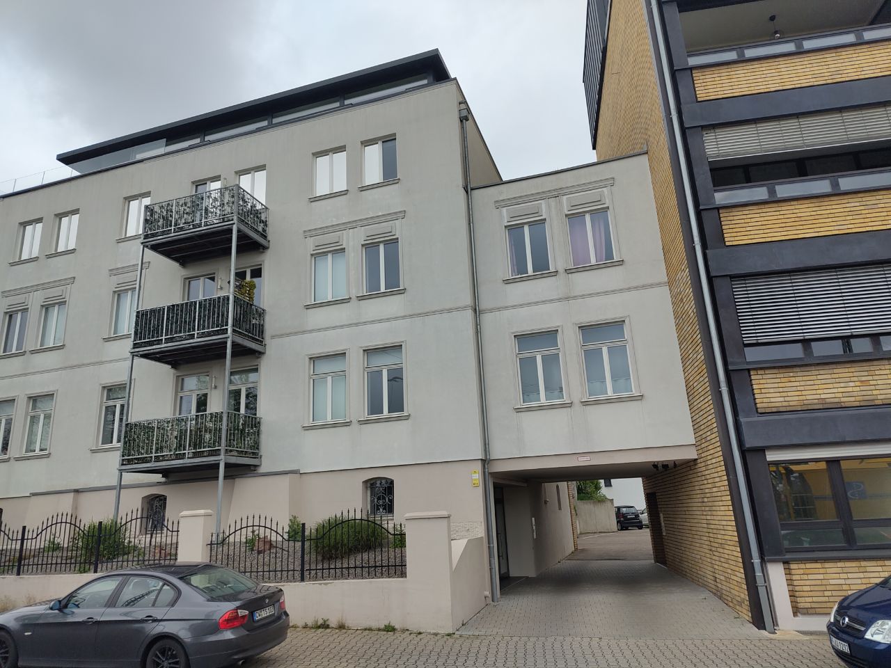
| 4234605 | RBB-RK | In context of overlay "Buildings" – way/572876857 via StreetComplete 57.2: Gebäudeteil, nicht separat Mappen Attached photo(s):
|
|||
| 3303989 | Mabap | Unable to answer "What kind of building is this?" for way/153576910 via StreetComplete 45.1: Stauwehr für das Kraftwerk |