AllotmentCyclist's Notes
Notes submitted or commented on by AllotmentCyclist
| Id | Creator | Description | Created at | Last changed | |
|---|---|---|---|---|---|
| 2754030 | T&C |
||||
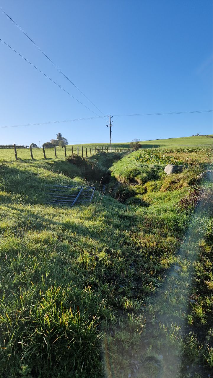
| 3952353 | AllotmentCyclist | Ditch runs down field to this point, then turns left and runs parallel with road on other side of hedge to meet road crossing in my other note. via StreetComplete 54.1 Attached photo(s):
|
|||
| 3952350 | AllotmentCyclist | Drain goes under road at this point, then directly underground to river. via StreetComplete 54.1 |
|||
| 2410028 | Tema_Ded | Are there any barriers in this place? If there is, perhaps private access to them |
|||
| 2948963 | AllotmentCyclist | The road is know as Meolors Weint. It is only public and asphalted from the parade to where the trees start. There is a gate at that point and it is private beyond. I don't know how to do that edit so can someone else do it please? |