777caliban's Notes
Notes submitted or commented on by 777caliban
| Id | Creator | Description | Created at | Last changed | |
|---|---|---|---|---|---|
| 4868421 | 777caliban | In context of overlay "Buildings" – Tower – way/1023634994 via StreetComplete 61.1: Turm ist auf der anderen Seite der Kirche Attached photo(s):
|
|||
| 4833898 | 777caliban | Unable to answer "What surface does this road have?" – Service Road – way/255882372 via StreetComplete 61.1: Die Zufahrt gibt es nicht mehr. Platz inzwischen umgebaut mit Treppe und Einfahrt auf ebene Kirche und Ebene Schloss |
|||
| 4772305 | 777caliban | Unable to answer "Is there a shelter at this stop?" – Heiligenkreuz bei Herzogenburg Schloss (Bus Stop) – node/6080189949 via StreetComplete 61.0: Glaub die haltestelle gibts gar nicht mehr |
|||
| 4774584 | 777caliban | Tolle alte Linde wird anscheinend gepflegt mit Bank usw. Würde ich eventuell separat eintragen da es schon ein poi ist via StreetComplete 61.0 Attached photo(s):
|
|||
| 4772303 | 777caliban | Traffostation via StreetComplete 61.0 Attached photo(s):
|
|||
| 4683707 | 777caliban | Inzwischen ein Kreisel via StreetComplete 60.3 |
|||
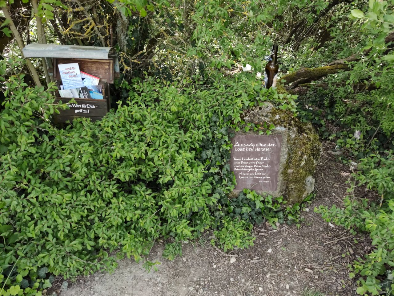
| 4224497 | 777caliban | Stein mit Spruch via StreetComplete 57.2 Attached photo(s):
|
|||
| 4516079 | 777caliban | Der Fußweg ist noch nicht existent via StreetComplete 59.3 Attached photo(s):
|
|||
| 2796000 | 777caliban | bumper und privatweg fehlt + ölkännla weiter hinten via StreetComplete 33.2 |
|||
| 3866675 | 777caliban | Turm als Gebäudeteil mappen via StreetComplete 53.3 Attached photo(s):
|